 Geus Geonetworks metadata catalogue
Mineral exploration licence reports
Non-confidential mineral exploration licence reports and other geoscientific reports have been recieved by Greenlandic authorities and subsequently send to GEUS in accordance with the Mineral Resources Act of Greenland (1 January 2010) and associated regulations.
This dataset allows to search in the database using alphanumeric and geographic search criteria and to access report metadata. It is also possible to download the actual report as a PDF file.
Simple
- Date (Revision)
- 2022-01-01
- Identifier
- dk.geus: / dodex
- Presentation form
- Digital map
- Purpose
- The purpose of this layer is to make licence reports available online for exploration companies interested in further exploring the mineral resource potential in Greenland. The reports should be easily searchable both spatially and non-spatially.and then downloadable.
- Status
- On going
- Maintenance and update frequency
- As needed
- GEMET - INSPIRE themes, version 1.0
-
- Mineral resources
- Geology
- Keywords
-
- licence reports
- Continents, countries, sea regions of the world.
-
- Greenland
- Access constraints
- Copyright
- Use constraints
- Copyright
- Other constraints
- No limitations on public access
- Other constraints
- Conditions for Re-use of data http://pubs.geus.net/et_dokument
- Spatial representation type
- Vector
- Spatial representation type
- Grid
- Denominator
- -1
- Distance
- -1 m
- Metadata language
- English
- Topic category
-
- Geoscientific information
- Economy
))
- Reference system identifier
- EPSG / https://epsg.io/32624
- Geometric object type
- Complex
- Distribution format
-
-
shape file
(
0.1
)
-
shape file
(
0.1
)
- OnLine resource
-
interactive map viewer
(
WWW:LINK-1.0-http--link
)
greenland portal
- OnLine resource
-
dodex_company_reports
(
OGC:WMS-1.1.1-http-get-map
)
Dodex Reports
- OnLine resource
- https://maps.greenmin.gl/geusmap/ows/32624.jsp?mapname=greenland_portal&LAYERS=dodex_company_reports&service=WFS&version=1.0.0&request=getcapabilities ( OGC:WFS-1.0.0-http-get-capabilities )
- OnLine resource
-
download shape file
(
WWW:LINK-1.0-http--link
)
shape file
- OnLine resource
-
dodex status and explanation
(
WWW:LINK-1.0-http--link
)
dodex status and explanation, the webapplication described here has been merged into the greenland portal
- Hierarchy level
- Dataset
Conformance result
- Date (Publication)
- 2010-12-08
- Explanation
- This field has no significance
- Pass
- No
- Statement
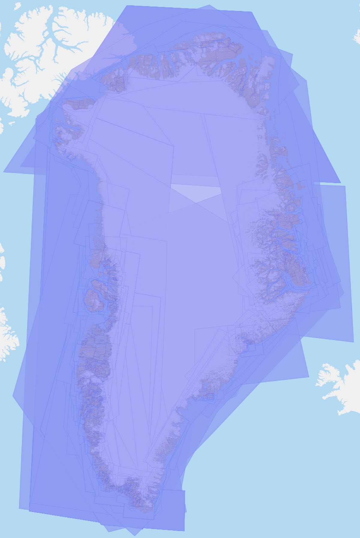
- License reports have been recieved at until about 2017 and the database was updated by scanning and georeferencing existing reports. The georeferences are polygons that represent areas that are treated in the report. Many of the reports were loaded into the database from older databases, and for most of those the area of interest was automatically defined as the area covered by the licence. Many of these geo-references have later been edited to represent more accurately the locality or localities treated in the report, and this process of narrowing the areas of interest has continued. New reports entered into the database will be georeferenced at the time of registration as accurately as practically possible.
- File identifier
- e0696bd9-c172-4399-98a9-830cb8a4b097 XML
- Metadata language
- English
- Hierarchy level
- Dataset
- Date stamp
- 2024-03-13T12:38:38
- Metadata standard name
- ISO 19115:2003 / ISO 19139:2007
Overviews
Spatial extent
Provided by
