 Geus Geonetworks metadata catalogue
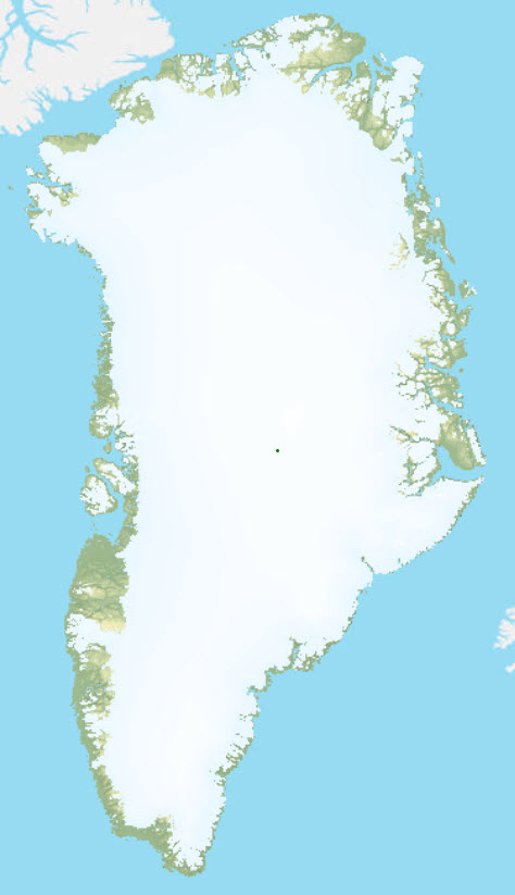
Digital Terrain Model of Greenland 1:500.000
The digital terrain model of Greenland is constructed on the basis of GEUS's topographic data set from the official geological maps of Greenland in scale ratios 1:100 000 and 1:500 000. The data base is primarily supported by contour lines, coastlines and support points. The terrain model is assembled as a mosaic in sub-areas based on the map sheet frames from the geological map of Greenland in 1:500 000. The terrain model is made in the coordinate system WGS 1984 Complex UTM Zone 24N with the dimensions in a 100 x 100 m grid. Based on the digital terrain model, a shadow map of the terrain has been constructed.
Simple
- Date (Publication)
- 2011-01-08
- Identifier
- dk.geus: / Unique dataset name
- Presentation form
- Digital map
- Status
- Obsolete
Point of contact
Geological Survey of Denmark and Greenland (GEUS)
-
Christian Brogaard Pedersen
Oster Voldgade 10
,
Copenhagen
,
1350 K
,
Denmark
- Maintenance and update frequency
- As needed
- GEMET - INSPIRE themes, version 1.0
-
- Elevation
- Land cover
- Geology
- Keywords
-
- Continents, countries, sea regions of the world.
-
- Greenland
- Access constraints
- Copyright
- Use constraints
- Copyright
- Other constraints
- No limitations on public access
- Other constraints
- Conditions for Re-use of data https://data.geus.dk/geusmap/terms_20140620.pdf
- Spatial representation type
- Grid
- Denominator
- 500000
- Distance
- 100 m
- Metadata language
- English
- Topic category
-
- Geoscientific information
- Elevation
N
S
E
W
))
- Reference system identifier
- EPSG / https://epsg.io/32624
- Geometric object type
- Surface
- Distribution format
-
-
Web Service
(
1.0
)
-
Web Service
(
1.0
)
Distributor
Geological Survey of Denmark and Greenland (GEUS)
-
Christian Brogaard Pedersen
Oster Voldgade 10
,
Copenhagen
,
1350 K
,
Denmark
- Hierarchy level
- Dataset
Conformance result
- Date (Publication)
- 2010-12-08
- Explanation
- This field has no significance
- Pass
- No
- Statement
- The digital terrain model of Greenland is constructed on the basis of GEUS's topographic data set from the official geological maps of Greenland in scale ratios 1:100 000 and 1:500 000. The data base is primarily supported by contour lines, coastlines and support points. The terrain model is assembled as a mosaic in sub-areas based on the map sheet frames from the geological map of Greenland in 1:500 000. The terrain model is made in the coordinate system WGS 1984 Complex UTM Zone 24N with the dimensions in a 100 x 100 m grid. Based on the digital terrain model, a shadow map of the terrain has been constructed.
- File identifier
- 7051947e-3615-4c03-a450-41d962ca27bd XML
- Metadata language
- English
- Hierarchy level
- Dataset
- Date stamp
- 2024-11-06T10:11:46
- Metadata standard name
- ISO 19115:2003 / ISO 19139:2007
Point of contact
Geological Survey of Denmark and Greenland (GEUS)
-
Metadata contact person
Oster Voldgade 10
,
Copenhagen
,
1350 K
,
Denmark
Overviews
Spatial extent
N
S
E
W
Provided by

Associated resources
Not available