 Geus Geonetworks metadata catalogue
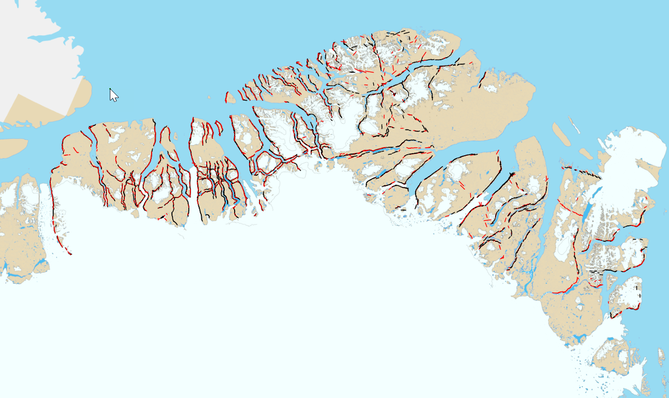
Northeast Greenland Oblique photos
The Geological Survey of Greenland (now part of the Geological Survey of Denmark and Greenland: GEUS) carried out a systematic 1 : 500 000 geological mapping program in North Greenland with fieldwork between 1978 and 1985 (Henriksen & Higgins 1991). One of many activities was a systematic programme of oblique aerial photography of the steep walls of fjords and valleys. This web-site makes available more than 6400 of these photographs. Using a map interface the user gain access to the individual images, their geological coding and the geological map).
Simple
- Date (Revision)
- 2022-01-01
- Identifier
- dk.geus: / oblique_scene
- Presentation form
- Digital map
- Status
- Completed
Point of contact
Geological Survey of Denmark and Greenland (GEUS)
-
Contact person name
Oster Voldgade 10
,
Copenhagen
,
1350 K
,
Denmark
- Maintenance and update frequency
- As needed
- GEMET - INSPIRE themes, version 1.0
-
- Geology
- Keywords
-
- Oblique photos
- Access constraints
- Copyright
- Use constraints
- Copyright
- Other constraints
- No limitations on public access
- Other constraints
- Conditions for Re-use of data https://data.geus.dk/geusmap/terms_20140620.pdf
- Spatial representation type
- Vector
- Denominator
- 250000
- Distance
- 100 m
- Metadata language
- English
- Topic category
-
- Geoscientific information
N
S
E
W
))
- Reference system identifier
- EPSG / https://epsg.io/32624
- Geometric object type
- Complex
- Distribution format
-
-
Web Service
(
1.0
)
-
Web Service
(
1.0
)
Distributor
Geological Survey of Denmark and Greenland (GEUS)
-
Christian Brogaard Pedersen
Oster Voldgade 10
,
Copenhagen
,
1350 K
,
Denmark
- OnLine resource
- North Greenland collection of oblique aerial photographs - (Twin Otter photos) ( WWW:LINK-1.0-http--link )
- OnLine resource
-
Google KML
(
GLG:KML-2.0-http-get-map
)
Download Google KML service file.
- Hierarchy level
- Dataset
Conformance result
- Date (Publication)
- 2010-12-08
- Explanation
- This field has no significance
- Pass
- No
- Statement
- The oblique images have been processed and recorded in the Flight laboratory in the department of petrology and ore geology. The recording of the oblique images was carried out in large scale conditions for later photogrammetric measurement and 3D stereo visualization of digital 3D map data.
- File identifier
- 510d1b45-cdfa-441c-b34b-49e49073a733 XML
- Metadata language
- English
- Hierarchy level
- Dataset
- Date stamp
- 2024-03-13T11:59:19
- Metadata standard name
- ISO 19115:2003 / ISO 19139:2007
Point of contact
Geological Survey of Denmark and Greenland (GEUS)
-
Metadata contact person
Oster Voldgade 10
,
Copenhagen
,
1350 K
,
Denmark
Overviews
Spatial extent
N
S
E
W
Provided by

Associated resources
Not available