
The MARTA meta-database holds information on shallow seismic geophysical data stored in the GEUS archives. Besides information collected by GEUS and cooperating partners, MARTA is the official offshore raw material database for company geophysical data reported according to Danish Law. (Bekendtgørelse af lov om råstoffer Lovbekendtgørelse nr 950 af 24/09/2009).
The Marta database includes data going back to the late 1970's and represents the general development from analogue data recorded on tape and paper prints until the early 1990's, when the computer technology gradually resulted in today's digital formats such as XTF side scan- and SEG-Y shallow seismic data. Positioning has undergone a similar revolution from Decca positioning to present day global positioning system (GPS).
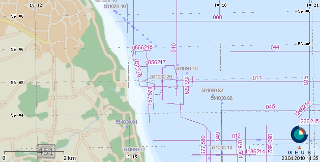
The metadata includes besides the acoustical track lines information about survey period, instrument types, data holder, operator and status of confidentiality.
The database includes a variety of data types such as single- and multibeam echo-sounding, pinger, boomer, chirp, sparker, side scan and magnetometer data.
Navigation is very important in the marine mapping in order to get an accurate position of the collected geophysical data. The Marta Database includes navigation data representing a historical development from low precision Radio navigation (Decca) through local high precision systems (Syledis, Loran) to global satellite Systems (GPS) and with additional reference stations in differential GPS and Real Time Kinematic (RTK) GPS.
Marine shallow geophysical methods.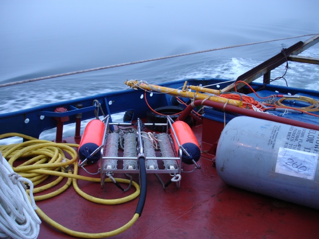
MARTA is also available as map services. Look for WMS and WFS links below the interactive map